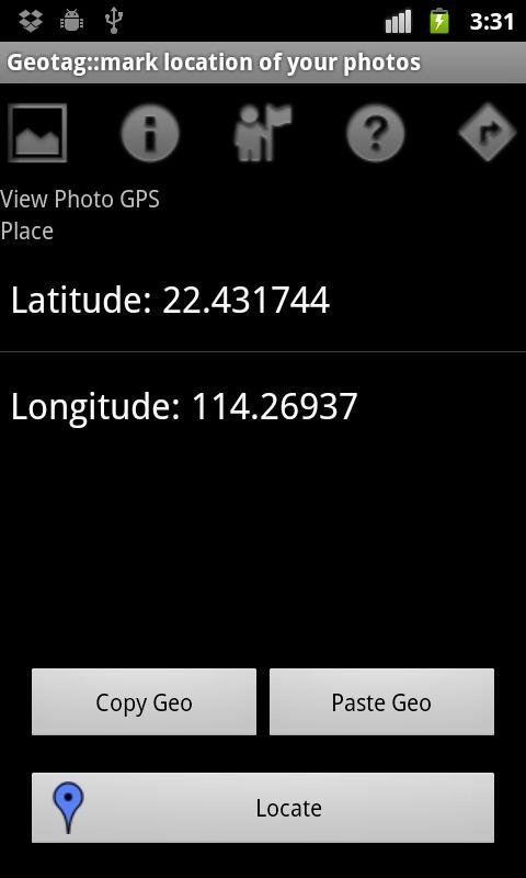
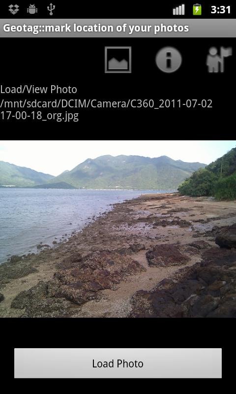
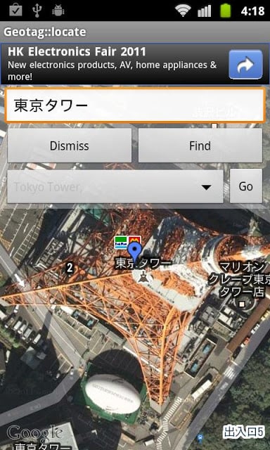
GeoTag, mark location of your photos
- Update GPS Tag of JPG Exif manually.
- Tested updated location (Geo Tag) can be recognized by Picasa, Flickr, Panoramio, Nikon my Picturetown and digiKam.
- You can also copy photos from your DSLR/DC to Android device SD Card and tag it with location.
Support:
- Move to SD.
- Support My Location from GPS/Network.
- Support Find Location:
* Touch on the "Find Location" button in map view
* Enter the name of the location
* Touch on the "Find" button
* Touch on the "Go" button if any matched location found
* Touch on "Dismiss" button when finished
You can install GeoLLERY (https://play.google.com/store/apps/details?id=com.pkg.geollery) to view photos with Geo Tag on Map.
你的照片地理标记,标记位置
- 更新GPS标签JPG EXIF手动。
- 测试更新的位置(地理标记)可以识别的Picasa,Flickr后,Panoramio的,尼康my Picturetown的digiKam中。
- 您也可以复制照片从您的DSLR / DC到Android设备的SD卡和标记位置。
技术支持:
- 移动到SD。
- 支持GPS /网络我的位置。
- 支持查找位置:
*触摸“查找位置”按钮,在地图视图
*输入名称的位置
*触摸“查找”按钮
*触摸“GO”按钮,如果发现任何匹配的位置
*触摸“炒鱿鱼”按钮完成时
在地图上浏览照片地理标记,,可以安装GeoLLERY(https://play.google.com/store/apps/details?id=com.pkg.geollery)。
GeoTag更新内容
update API
网友评论更多