Ever stood at the top (or the bottom) of a mountain, stared at the vast vista of wilderness and wondered what the names of the mountains were. With Mountain Navigator, all you do is point your phone at a mountain and it tells you what it’s called. This app doesn’t need an internet connection to work (chances are you won’t have one up a mountain anyway).
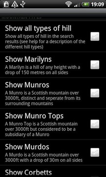
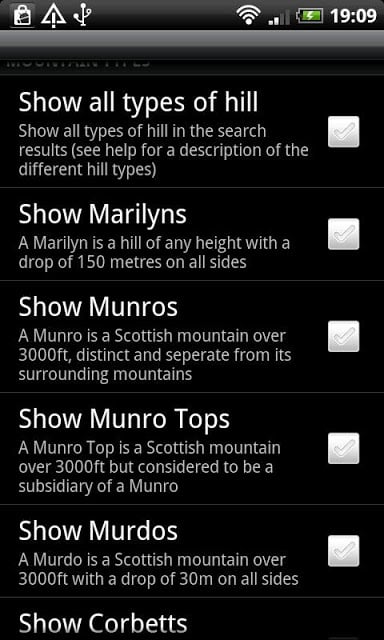
Mountain Navigator uses the British Hills Database which contains all the hills and mountains in England, Scotland, Ireland and Wales. Allows you to easily set up filters by distance from your location, height and classification of mountain (Munro, Corbett and Nuttall etc). Includes Marilyns and Humps so the chances are there’s several hills near you, wherever you live.
Mountain Navigator has 4 modes:-
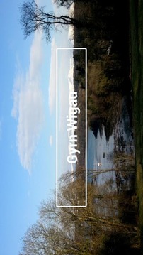
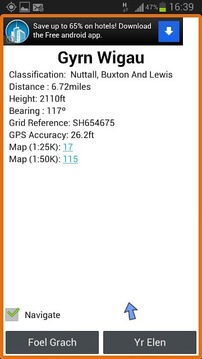
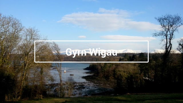
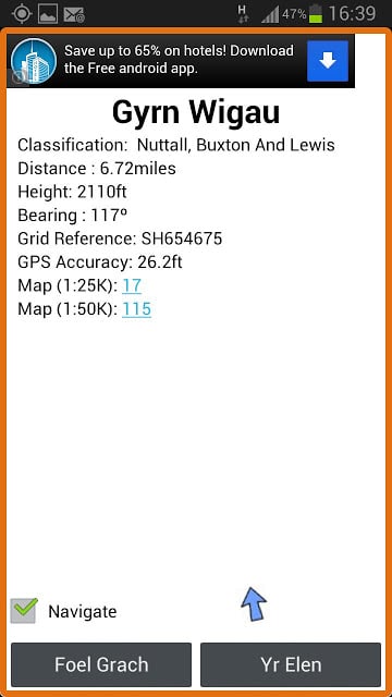
Viewfinder:Hold the phone sideways, point the camera at the mountain you’re interested in and it displays its name. Tap on the name to get all the details of the mountain and navigate towards it.
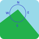
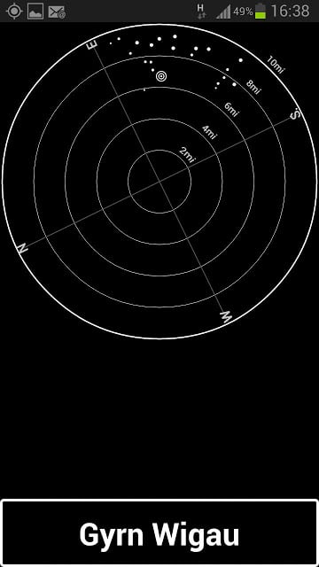
Toposcope: Hold the phone flat and all the hills are shown as a toposcope. The higher the mountain, the brighter the dot. Tap on a dot to see its name. Tap on the name to get all the details of the mountain and navigate towards it.
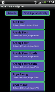
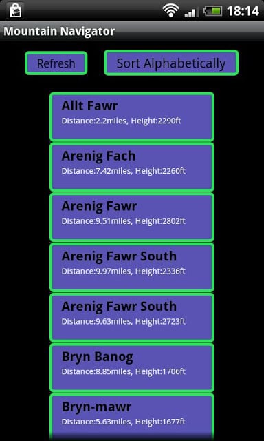
Nearby Hills:Shows all the nearby hills. Tap on the name to get all the details of the mountain and navigate towards it.
Search. Search for a specific hill, anywhere in the UK or Ireland.
Plan. Now you can use any location in the UK without actually being there. Allows you to plan in advance of a trip which hills to climb and which maps you'll need.
Uses the British Hills database (version 13.2), contains all Munros, Corbetts, Grahams, Nuttalls, Marilyns, Wainwrights, Birketts, Humps, Arderins, Vandeleur-Lymans, Sims, Furths and County tops.
Ideal for hill walking in The Lake District, the Highlands of Scotland, Ireland, Wales, Dartmoor, the Pennines, the Yorkshire Dales or anywhere that has hills.
曾经站在一座山的顶部(或底部),盯着旷野广阔的前景,并想知道山的名字是什么。山地导航,你要做的就是将手机在山上,它告诉你它叫什么。此应用程序并不需要一个互联网连接工作(机会是你不会有一个反正山)。
山Navigator使用英山数据库,它包含了所有在英格兰,苏格兰,爱尔兰和威尔士的丘陵和山区。让您可以轻松地设置过滤器,从您的位置,高度和分类山(哈密,Corbett和纳托尔等)的距离。包括Marilyns拱,这样的机会有几个山头靠近你,无论你住哪里。
山导航仪有4种模式: -
取景器:横盘整理,拿着手机相机指向在山上你有兴趣,并显示其名称。点击的名称朝它让所有的细节的山和导航。
Toposcope:握住手机平板和所有的山丘都作为toposcope所示。山越高,越亮的点。点击上的一个点,看它的名字。点击的名称朝它让所有的细节的山和导航。
附近的山上:显示所有附近的山上。点击的名称朝它让所有的细节的山和导航。
搜索。搜索一个特定的山丘,在英国或爱尔兰的任何地方。
计划。现在,你可以使用任何在英国的位置,而无需实际在那里。允许您旅行爬上丘陵和地图,你需要提前计划。
使用英山数据库(版本13.2),包含的所有文礼律师,Corbetts,格雷厄姆,Nuttalls,Marilyns,Wainwrights,Birketts,驼峰,的Arderins,Vandeleur Lymans,西姆斯的Furths和县上衣。
非常适于山上走在湖区,高地,苏格兰,爱尔兰,威尔士,达特穆尔,奔宁山脉,约克郡山谷或任何地方,有丘陵。
Mountain Navigator Free更新内容
V 2.6
Updated to v14.3 of Hills database
- Many new hills added
Lollipop related bug fixes
- Search Screen works again
- Direction arrow no longer has black border
Other bug fixes
- Hill finder was not working for Scottish hills
- Weather link was not working
- Navigator screen was not populating hills if Nearby Hills screen had been activated first


网友评论更多